Devpost
Participate in our public hackathons
Devpost for Teams
Access your company's private hackathons
Grow your developer ecosystem and promote your platform
Drive innovation, collaboration, and retention within your organization
By use case
Blog
Insights into hackathon planning and participation
Customer stories
Inspiration from peers and other industry leaders
Planning guides
Best practices for planning online and in-person hackathons
Webinars & events
Upcoming events and on-demand recordings
Help desk
Common questions and support documentation
StoryStrand is google maps for curiosity. A great book gets you curious about the real science, and then it ends. SS, starts where your taste is and gives you turn by turn directions to the science.
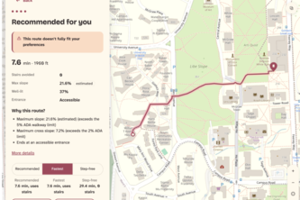
We leverage real campus GIS, lidar and live reports so that maps finally route around how you move. Many people live with access restraints, but in 100 years, every map should know the way for them.
RouteWise — The fastest route isn’t always the best.
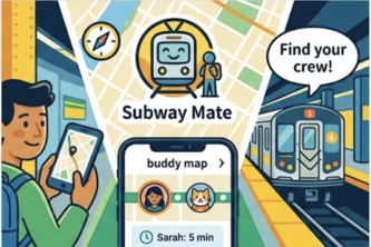
Subway Mate gets you to your train without you getting lost in the station in NYC. Point your camera at any sign or landmark for instant, accessible, step-by-step guidance straight to your platform.
Waymax helps people with Alzheimer's navigate their lives by recognizing loved ones, staying oriented and safe, with gentle on-screen and spoken cues and instant message alerts for caregivers.
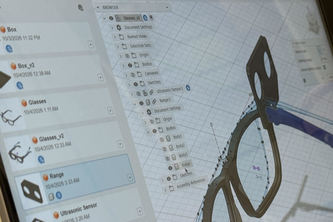
A set of smart glasses that sound off when in range of collision for blind users (beeps faster the closer you get).
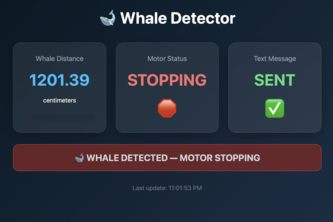
Ship strikes kill whales. We prevent it from ever happening in the first place.
Fight the fire. Find the route. Bring your crews home.
Big Red Bear io: a community-building game where you compete against friends to "eat" your way across campus and grow from cub to Big Red Bear. Try to be the largest bear before time runs out.
From our experience in Latin America, where choosing a safer route is a daily concern, ARAZUL fills a gap that common navigation apps ignore by finding the safest route within reasonable travel time.
Navigation that turns every walk into an adventure: a squad of pets scouts real landmarks, guides you there, and battles rivals to claim the places you visit.
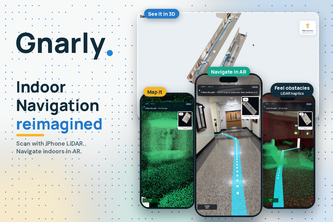
Indoor AR directions from one iPhone LiDAR scan
Tell Polaris your goal, and it plots a route through your real bills and paydays, then reroutes you every time life happens.
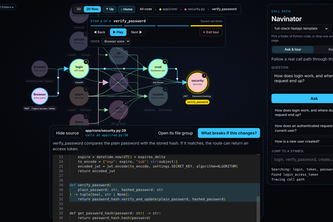
Joining a new engineering team shouldn't mean spending days figuring out how an unfamiliar codebase works.
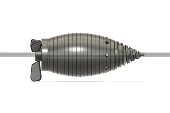
Priller is a propeller-driven robot designed to navigate inside pipes, map plumbing networks, and detect leaks with an interactive pipe map showing its location, sensor readings, and high-risk areas.
Journal by picking up your phone.
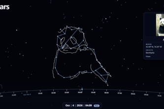
Navigate your memories as you chart the night sky!
Building navigation for people who can't rely on the screen.
Plans everyone can get behind.
Creature hunt across Cornell.
Walking routes that adapt to real-world obstacles in real time.
Say the name of anything. A camera on your chest finds it and buzzes the moment your own hand crosses it, so you can reach straight to it.
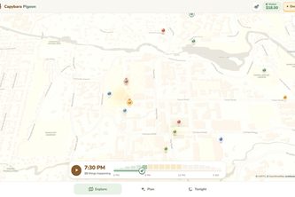
Navigate not just where, but when. Capybara Pigeon maps the spacetime around you, surfacing temporary events, personalized detours, and experiences that fit your route, interests, and budget.
Galaxy Maps: Navigate the universe. Explore space through an interactive map, learn with Grok, and step inside the cosmos with VR.
25 – 48 of 58